Book Launch: Navigational Restrictions within the New LOS Context
Venue: The Orchard Parade Hotel, 1 Tanglin Road, Singapore 247905
Time: 5.00 pm – 6.00 pm
CIL was delighted to host the book launch of Navigational Restrictions within the New LOS Context on 21 April 2017. The book manuscript was prepared in 1986 by Lewis M Alexander, a world-renowned marine geographer, as a report for the United States Department of Defense. Published by Brill, the book was edited by Captain J Ashley Roach, who faithfully reproduced its original structure and references. Section one of the book offers an exceptional primer on the 1982 United Nations Convention on the Law of the Sea. In addition, the book contains the compilation of geographic data—not available elsewhere—describing the world’s straits used for international navigation and illustrations of the chokepoints and major international shipping trade routes.
PROGRAMME
5.00pm Registration & Book Sale
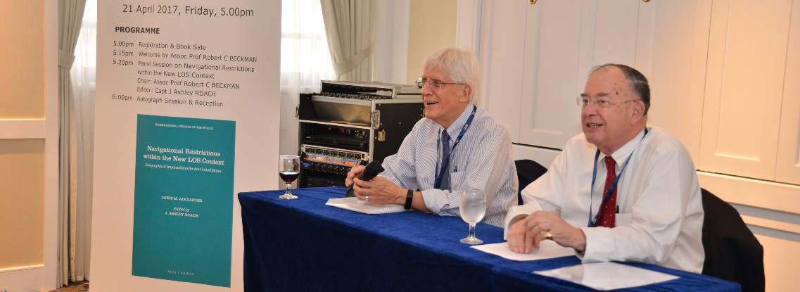
5.15pm Welcome by Assoc Prof Robert C BECKMAN
5.20pm Panel Session on Navigational Restrictions within the New LOS Context
Chair: Assoc Prof Robert C BECKMAN
Editor: Capt J Ashley ROACH
6:00pm Autograph Session & Reception
ABOUT THE BOOK
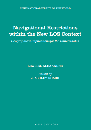 In 1986, Lewis M Alexander, a world-renowned marine geographer, prepared for the U.S. Department of Defense a report, Navigational Restrictions within the New LOS Context: Geographical Implications for the United States. Capt J Ashley Roach has faithfully reproduced Alexander’s seminal work by retaining the original structure and references. The reformatted report is presented in five sections and includes 20 maps, illustrating the world’s international straits and major ocean navigation routes. Forty-three tables present the most comprehensive descriptions of the world’s straits used for international navigation, as well as identify various categories of maritime claims. What made the Report extraordinarily valuable in 1986, and which makes it equally valuable today, is the compilation of geographic data — not available elsewhere — describing the world’s straits used for international navigation and illustrations of the chokepoints and major international shipping trade routes. A table of defined terms and an index have been added.
ONLINE PURCHASE Click here or email brillasia@brill.com.