NUS Satellite Research Project on the South China Sea
NUS Satellite Research Project on the South China Sea
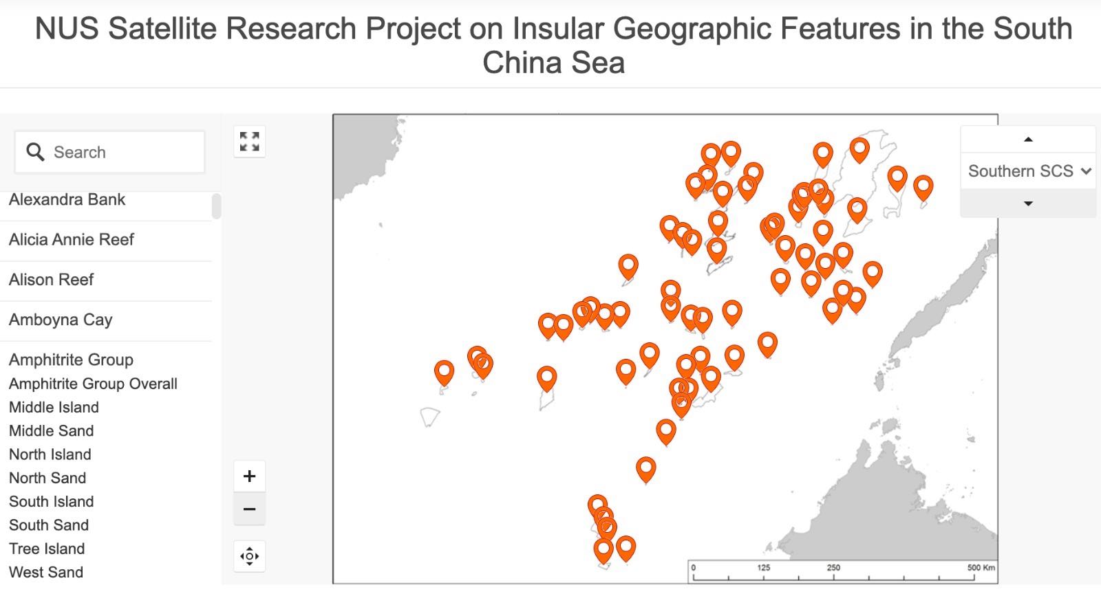 CIL led and coordinated a special project on the South China Sea entitled ‘Multidisciplinary Satellite Survey of the Shallow Geographic Feature in the SCS’. This Project involved a satellite image-based mapping of all visible insular geographic features in the SCS, including natural and man-made features, description of their geographic characteristics, natural coastal and marine habitats as well as land cover. It seeks to provide baseline information for further research on marine ecosystems and biodiversity of insular geographic features in the South China Sea.
Click here to access data obtained from this Project.


